
The Situation on the Reykjanes Peninsula
The ground continues to rise near Svartsengi, according to the Icelandic Meteorological Office’s assessment of 30 September 2026. Measurements indicate that magma is continuing to accumulate several kilometres below the surface.
The Meteorological Office says seismic activity remains low. It considers a magma intrusion, which could lead to an eruption along the Sundhnúkur crater row, the most likely next development. However, no eruption has been confirmed as imminent on any particular date.
Over approximately three months, the ground near Svartsengi rose by around four centimetres. The Meteorological Office stresses that the exact timing of a possible magma intrusion cannot be predicted.
Residents and visitors should follow the latest hazard-assessment maps and guidance from civil protection authorities. Ground uplift alone does not mean that an eruption has begun.
What does this mean?
Fréttir 24/7 is following developments and will publish updates when new verified information becomes available.
Source: Icelandic Meteorological Office, assessment of 30 September 2026
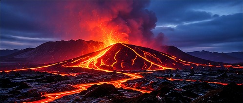
Homepage images are stock images or illustrations, not photographs of the event.
Why do the measurements matter?
Earthquakes, ground deformation and gas measurements can indicate changes in a volcanic system. No single measurement, however, can determine the exact timing or scale of a possible eruption.
Information from the Icelandic Meteorological Office and civil protection authorities should guide assessments of risks to people and infrastructure.